Remember the old days of travel? You would step off a train, unfold a massive paper map that caught the wind like a sail, and immediately signal to every pickpocket in a five-mile radius that you were completely lost. Then you had to fold it back up. It never went back the same way.
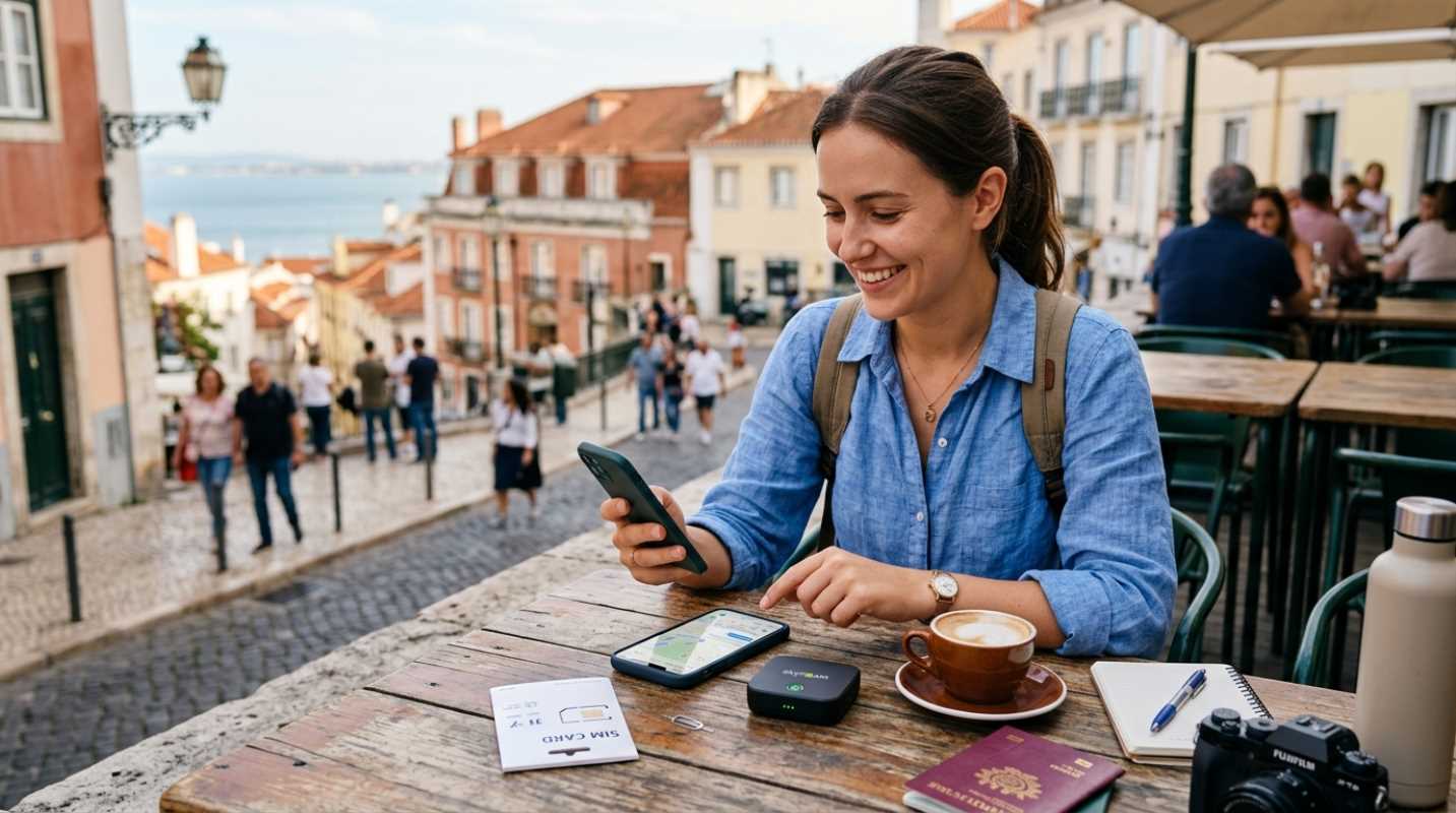
Today, our smartphones have replaced those paper monsters. But having a supercomputer in your pocket does not mean navigating a new city is suddenly stress-free. Have you ever stepped out of a subway station in Tokyo or London, looked at your phone, and realized you have absolutely no signal? Or worse, you see that your battery is at four percent and you are miles from your hotel.
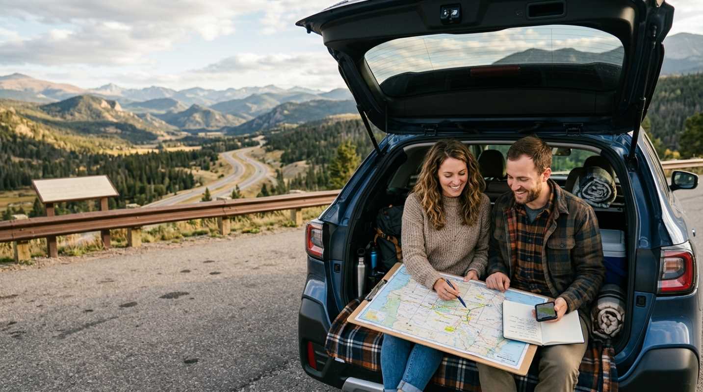
Confidence changes your entire travel experience. When you know how to get around, you stop worrying about getting lost and start actually looking at the architecture, the people, and the culture. You walk with purpose. To get that confidence, you need a smart digital toolkit. Let's look at the best travel apps to help you master unfamiliar cities in 2026.
The Gold Standard Offline Maps and Reliability
Let's talk about the biggest trap in travel navigation: the offline transit gap. Most of us rely on Google Maps or Apple Maps at home. They are great when you have a strong 5G connection. But did you know that Google Maps completely disables public transit routing when your device is offline?¹ If you download an offline map of Paris and lose your connection underground, the app won't show you which metro line to take. It will only offer walking or driving routes.
If you want to avoid massive international data roaming bills, you need a solid offline approach. This is where dedicated offline map apps become your best friend.
For years, Maps.me was the king of offline travel. But things changed. Aggressive ads, paywalls, and corporate bloat ruined the experience.² In response, the original founders of Maps.me walked away and built a new, open-source alternative called Organic Maps.³
Organic Maps is a dream for privacy-conscious travelers. It has reached over six million installs because it does exactly what it promises.³ It is completely free, has zero ads, and doesn't track your location.³ Because it runs entirely on your phone's built-in GPS without downloading data in the background, it barely sips your battery. You can download highly compressed maps of entire countries before you leave home, and they take up very little space on your phone.
Here are a few quick tips for downloading offline maps before you depart
• Download by sector: Instead of downloading an entire country, just grab the specific city and surrounding regions you plan to visit to save storage.
• Test offline mode at home: Turn on airplane mode and try searching for your hotel or a local landmark to make sure the data downloaded correctly.
• Keep your GPS active: Your phone's GPS chip works even without cell service, so you can always see your exact location on an offline map.
Public Transit Mastery Getting Around Like a Local
Taking public transit is the fastest way to travel like a local. It is cheaper than taxis, better for the environment, and often much faster in congested cities. But trying to decode a foreign subway map can feel like trying to solve a Rubik's Cube.
If you are traveling to a major global megacity, Citymapper is the gold standard. The app now serves over 50 million users across more than 400 cities.⁴ It is designed specifically for complex urban transit.
Citymapper is brilliant because of its attention to detail. It doesn't just tell you to take the subway. It tells you exactly which section of the train to board so you are right next to the exit or transfer stairs when you arrive. It gives you real-time departure times, tells you which exit to use when you leave the station, and even offers rain-safe walking routes.
What if Citymapper doesn't cover the city you are visiting? You have two other excellent options
• Moovit: This is the giant of transit data, operating in over 3,400 cities across 112 countries.⁵ Moovit solves the offline transit gap by letting you save specific transit lines and schedules directly to your device. If you are traveling to smaller cities or off-the-beaten-path destinations, Moovit probably has you covered.
• Transit App: If you are traveling around North America, this is a crowd favorite. It has a beautiful, color-coded interface that instantly shows every nearby bus and train line. It also uses a crowdsourced feature where riders share real-time vehicle locations with each other.
For the last mile of your trip, both Citymapper and Transit App integrate beautifully with local ride-sharing, e-bikes, and scooters. If you have a long walk from the bus stop to your hostel, you can easily unlock a nearby scooter directly through the app interface.
To make your travel planning easier, here is a quick breakdown of the apps you should consider downloading before your next trip.
Remember, no single app can do everything. The smartest approach is to use a two-app setup. Keep a connected app like Citymapper or Google Maps active when you have a local eSIM or Wi-Fi, but always have Organic Maps downloaded as your fail-safe backup. If you find yourself in a subway tunnel with no service, you can open your offline map and instantly find your way.
Safety and Spontaneity Beyond A to B Navigation
We usually think of navigation apps as tools to get from point A to point B. But they can also play a major role in your safety and your ability to discover unexpected places.
When you are walking through an unfamiliar city at night, safety is everything. Apps like Citymapper can help by suggesting routes that prioritize main, well-lit streets rather than the absolute fastest path. This is incredibly helpful when you don't know which neighborhoods are safe and which ones you should avoid.
At the same time, having a digital map gives you the freedom to be spontaneous. Have you ever wanted to just wander down a beautiful side street but hesitated because you were afraid of getting lost? With a reliable offline map on your phone, that fear completely disappears.
You can use crowdsourced data on apps like Organic Maps or Google Maps to find incredible hidden gems. Whether it is a quiet park, a tiny local bakery, or a stunning viewpoint, other travelers have likely pinned it on the map. You can find these spots without having to carry a bulky guidebook.
But don't let your phone screen run your entire vacation. Sometimes the most memorable travel moments happen when you turn off the turn-by-turn voice directions and just explore. Think of your navigation app as a safety net. It is there to catch you if you get truly lost, but otherwise, it lets you wander with complete peace of mind.
A Digital Compass for Future Adventures
Travel is all about exploring the unknown, but it doesn't have to mean feeling lost and stressed. The digital tools available to us in 2026 make it easier than ever to handle even the most complex urban environments.
Before you pack your bags for your next adventure, take ten minutes to organize your digital travel stack. Update your apps, download your offline maps, and cache your transit schedules. Make sure you know how to toggle your phone to GPS-only mode to save battery and avoid unexpected data charges.
With these tools on your phone, you will have the confidence to explore any city like a local. So where are you heading next? Pack your digital compass, step out of your comfort zone, and enjoy the journey.
Sources:
1. Simology
https://simology.io/blog/best-offline-maps-travel-2025-google-vs-apple-vs-mapsme
2. OpenStreetMap Wiki
https://wiki.openstreetmap.org/wiki/MAPS.ME
3. XDA Developers
https://www.xda-developers.com/organic-maps-open-source-google-maps-alternative-delivers/
4. Locals Insider
https://localsinsider.com/apps/get-around-with-citymapper-the-public-transit-app-reviewed/
5. Unstar
https://unstar.app/blog/transit-citymapper-moovit-google-maps-trainline-public-transit-apps-ranked-2026